Places to visit
Viewpoints, lakes, heritage and forest detours, arranged with local context.
Explore ↗Entering the Lansdowne Belt
A local guide to the Garhwal hills
Discover the places, people and little stories that make the Lansdowne belt worth slowing down for.
Your hill guide, made locally
Most guides stop at the familiar viewpoints. We connect the whole journey—from the plains of Kotdwar to forest roads, village kitchens and quiet stays beyond Lansdowne.
Meet the belt →Viewpoints, lakes, heritage and forest detours, arranged with local context.
Explore ↗A transparent, map-linked guide to hill resorts, retreats and family stays.
Explore ↗Garhwali kitchens, small markets and the dishes worth slowing down for.
Explore ↗One, two and three-day routes that fit the pace and people in your car.
Explore ↗The road into the hills
The landscape changes with every bend. Follow the climb and find the stop that matches your pace.
Gateway to the Garhwal hills
River bends and an old market town
A ridge road wrapped in forest
Orchards, village stays and open views
A cantonment town among the pines
Journey map · Not to scale
Places worth your time
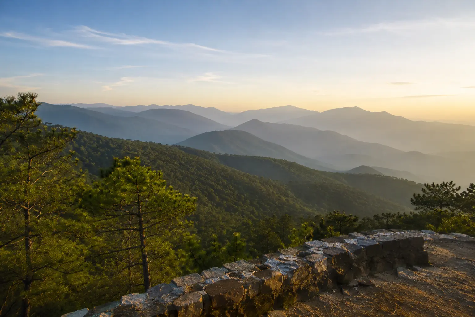 AI-generated illustration
Lansdowne ridge · 45–75 min
A pine-framed viewpoint where the hills finally open into a long Himalayan horizon.
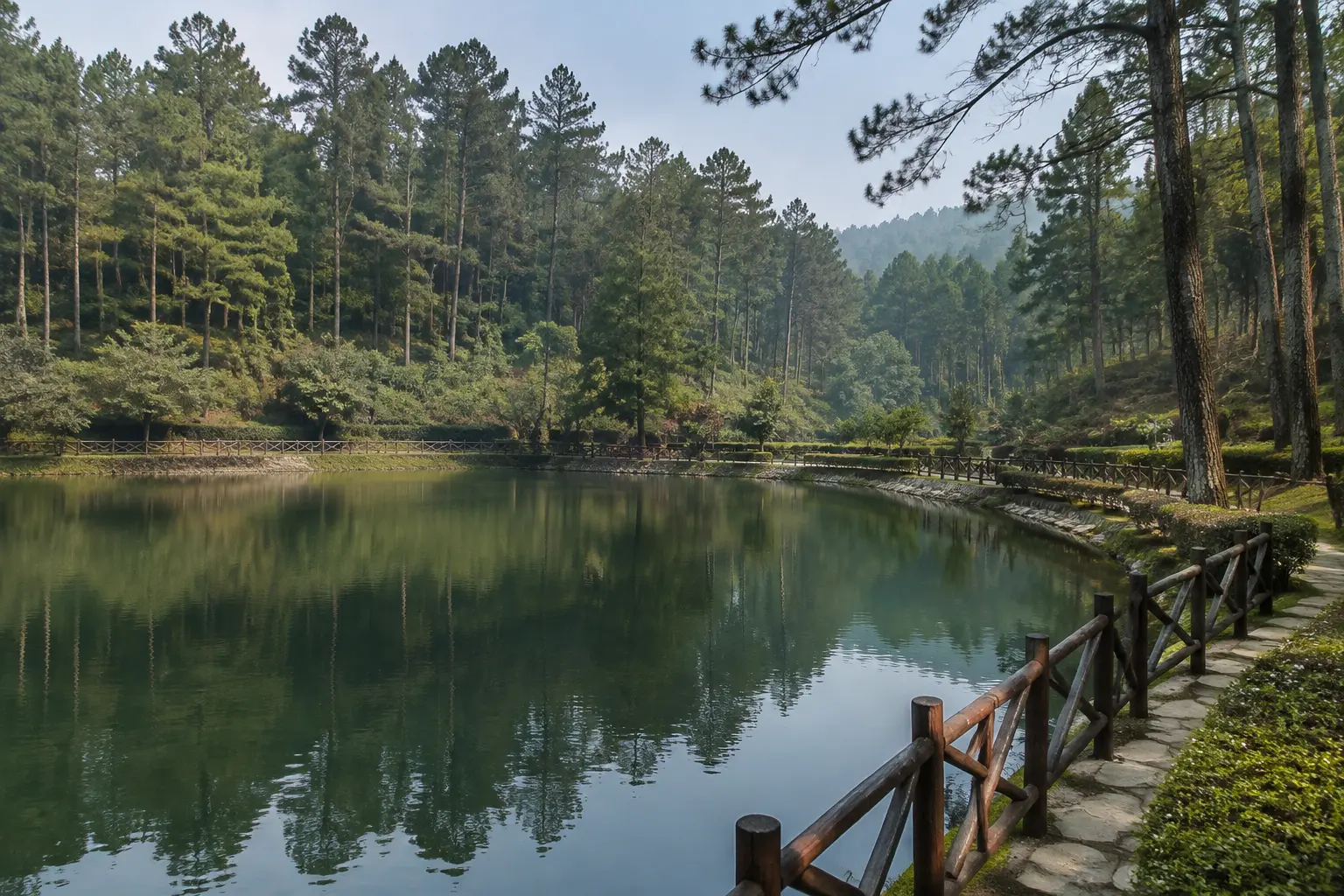 AI-generated illustration
Lansdowne town · 60–90 min
A gentle lake-and-garden pause that works especially well with children or an easy evening.
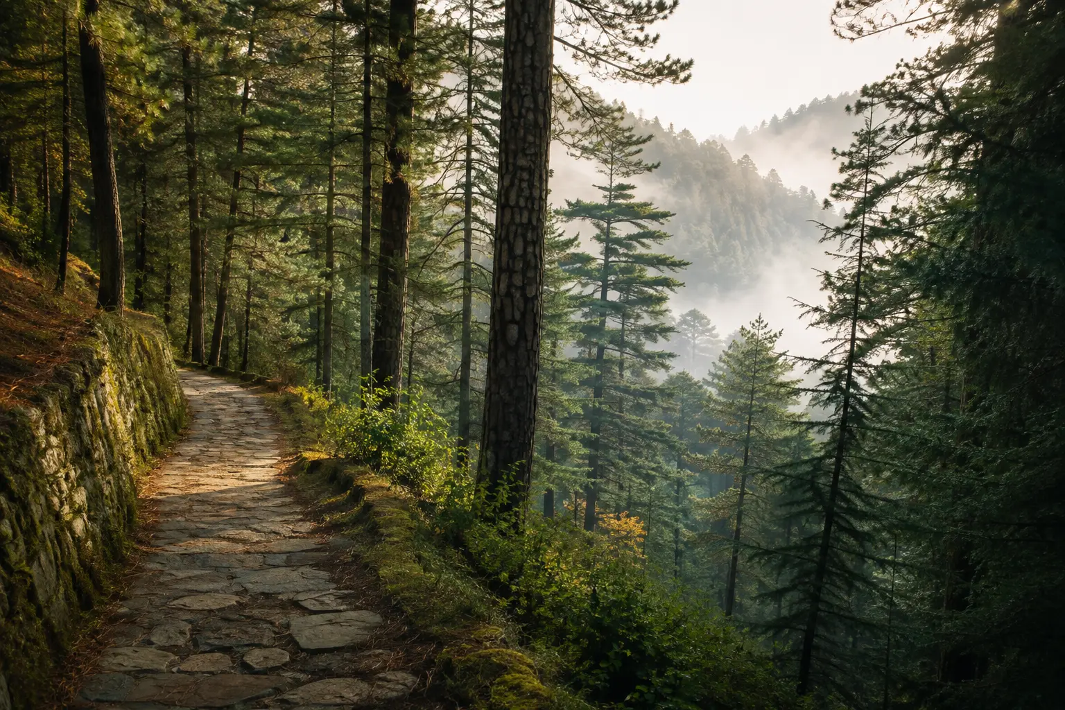 AI-generated illustration
Church road, Lansdowne · 25–40 min
A quiet heritage stop on the forested road toward Tip-n-Top.
Where to stay
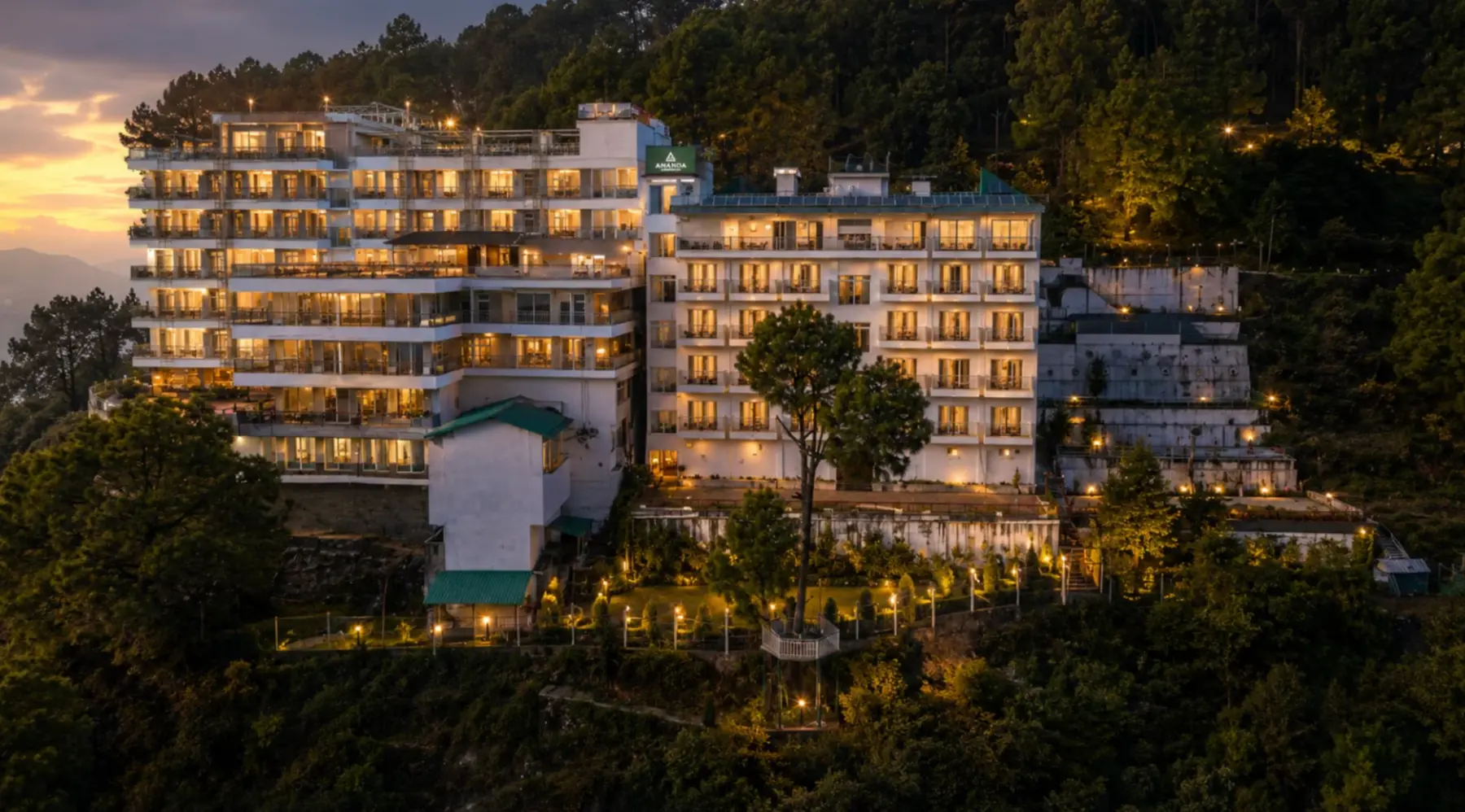 #1Property image · supplied for use
Featured stay · four-star resort
A four-star valley-view retreat with pure-vegetarian dining, family spaces and a garden made for slow hill evenings.
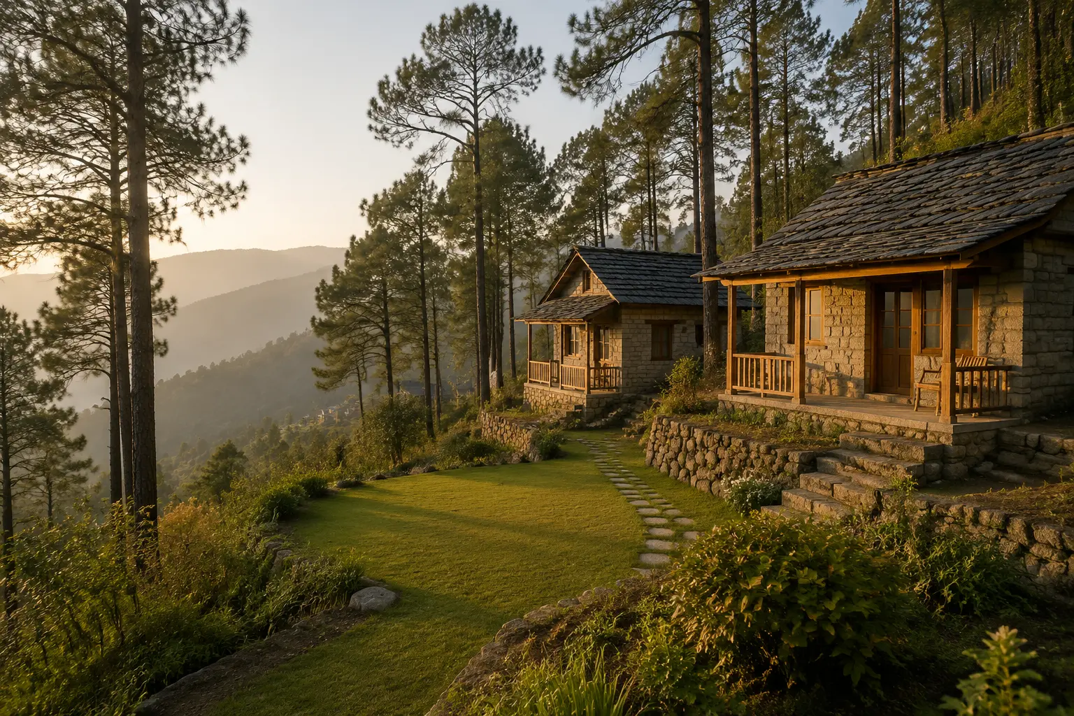 #2AI-generated illustration
Family-friendly, with the kind of small service details guests remember.
View on Map ↗#3AI-generated illustrationRooftop cottages, open valley views and evenings that often settle into live music.
View on Map ↗#4AI-generated illustrationSecluded and stream-side, with unusually comfortable parking access for a hill stay.
View on Map ↗Ratings and reviews sourced from Google Maps · Peaks & Pines snapshot 02-09-2026; ranks #2–#4 supplied snapshot 01-09-2026
Local favourite · September
Walk after the rain has thinned and watch the mist release one pine at a time. No ticket, no queue—only water, leaves and a road returning to view.
See the whole belt
Choose the time you have and the kind of day you want. Every combination now builds a different route from the belt guide.
Keep the first day walkable and unhurried.
Weather fallback · Move the viewpoint to the clearest forecast window.Open day route ↗Choose one belt stop instead of collecting distant detours.
Weather fallback · After heavy rain, remain on the main road and confirm walking conditions locally.Open day route ↗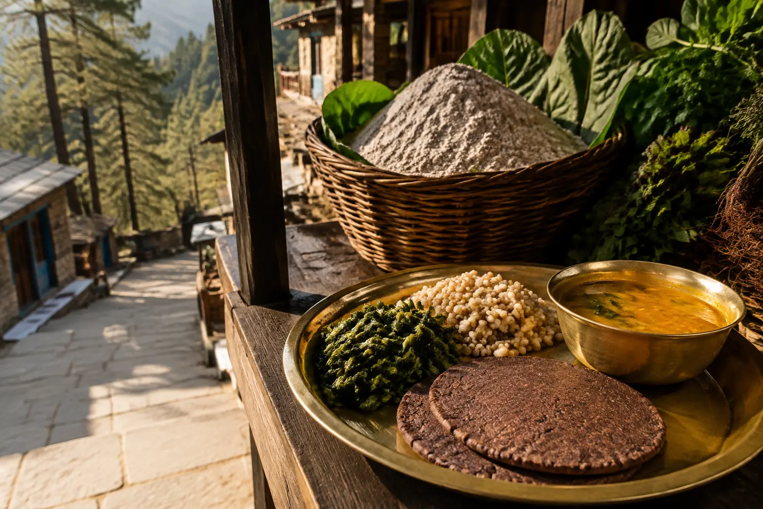 AI-generated illustrative Garhwali food and market mood
Local culture & food
A Garhwali table is rarely interested in showing off. It arrives warm and steady: mandua roti, pahadi dal, seasonal greens, jhangora and recipes that make sense after a cool walk.
Later, wander through the Alaknanda market area in Lansdowne town. It is less a souvenir performance than a useful local rhythm—small purchases, provisions, tea, conversations and the ordinary life that keeps a hill town real after visitors leave.
Share a local food tip →Field notes in pictures
Drone films and real location frames can replace any tile later without changing the layout.
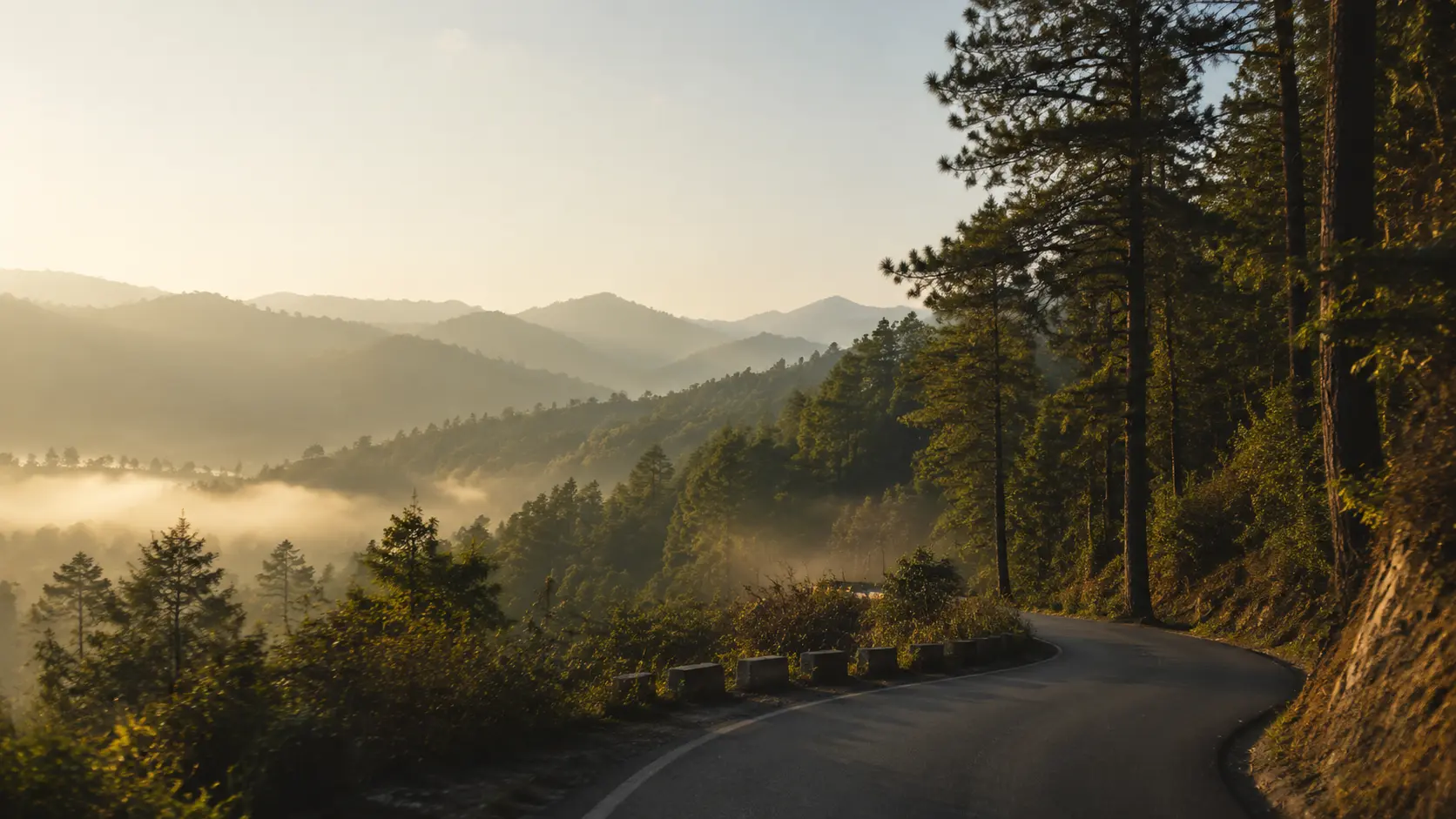 Drone filmLocation studyCommunity frame
Before you climb
Usually in Lansdowne town and along the main road, but signal can weaken sharply in forest folds, stream-side stays and the Tarkeshwar belt. Download maps, keep your hotel number offline and do not plan a critical call around a remote stop.
Lansdowne has limited ATM access and Kotdwar is the safer gateway for cash. Carry a reasonable amount before climbing, especially for village stops, small eateries or a network outage.
Ordinary public sightseeing generally does not need a separate cantonment permit, but restricted military areas and photography rules must be respected. Forest reserves, safaris or controlled trails may require entry tickets or permission—check the relevant gate before travelling.
It is generally a calm leisure belt, but hill-road judgement matters: avoid unfamiliar drives after dark, slow down in rain and fog, keep children close at unfenced viewpoints, and share your day route when walking alone.
Avoid planning the Kotdwar–Lansdowne climb after dark if you do not know the road. Bends, fog, rain, animals and limited roadside lighting can turn an ordinary drive into a tiring one.
Expect slower journeys, reduced visibility and occasional local road disruption. Keep a flexible plan, use the main roads, check current conditions locally and never cross a flooded or freshly damaged stretch.
Kotdwar is the safest place to begin with a comfortable fuel level. Do not assume every belt road has a nearby or always-open fuel station, especially before a longer detour.
Basic care is available in the wider belt, but serious emergencies may require travel toward Kotdwar or a larger city. Carry personal medication, save emergency contacts offline and ask your stay about the nearest current facility.
Built with people who live here
Know a beautiful walk, an honest meal or a story worth keeping? Send it here. The form saves your note directly for review—no email app required.